
Dow Crag Skyline - Lake District Walk
Thursday 15th May 2008
John wanted a day off walking but was happy to drop me off at the top of Wrynose Pass so as that I could do a linear walk that I have wanted to do for a long time now but never really expected to get the chance to do. Starting at Wrynose Pass I was planning on walking along the Great Carrs Ridge, onto the Old Man and then across to Dow Crag to follow the ridge to the Walna Scar Road and then, if time permitted, to carry onto White Pike before dropping down the Walna Scar Road to Long House.
Start: Three Shires Stone (NY 2772 0274)
Route: Three Shires Stone - Wet Side Edge - Hell Gill Pike (241) - Little Carrs - Great Carrs (242) - Swirl How - Great How - Brim Fell - Coniston Old Man (CT) - Dow Crag - Buck Pike - Brown Pike - Walna Scar - White Maiden (243) - White Pike (244) - Walna Scar Road - Long House
Distance: 8 miles Ascent: 851 metres Time Taken: 6 hours 15 mins
Terrain: Good paths.
Weather: Generally warm but a cold breeze on the summits.
Pub Visited: Newfield Inn, Seathwaite Ale Drunk: Jennings Cumberland
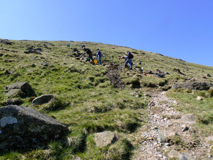
The Path Fairies working on the path to Wet Side Edge.
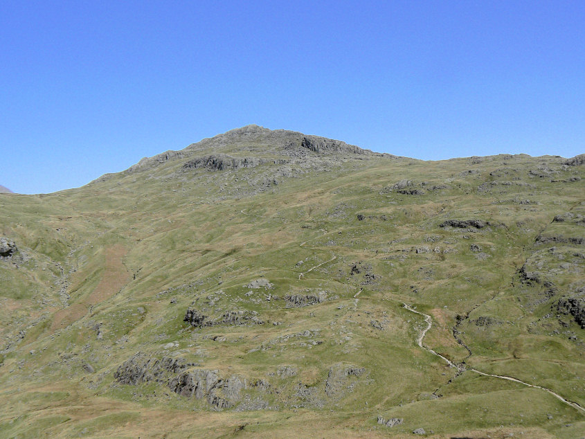
Looking across to the Pike O'Blisco as I make my way up the path.
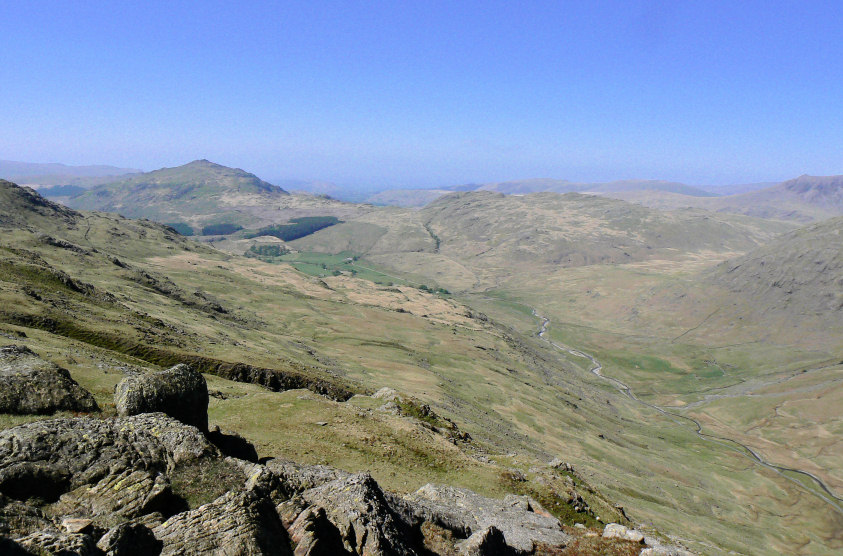
Looking along Wrynose Bottom to Harter Fell and Hard Knott.
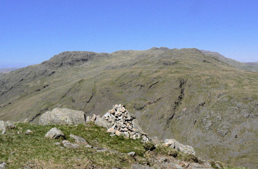
Once I reached Wet Side Edge the views were quite extensive, here looking across Wrynose Bottom to Little Stand and Cold Pike.
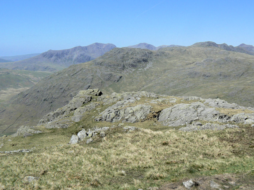
The first summit of the day, Hell Gill Pike.
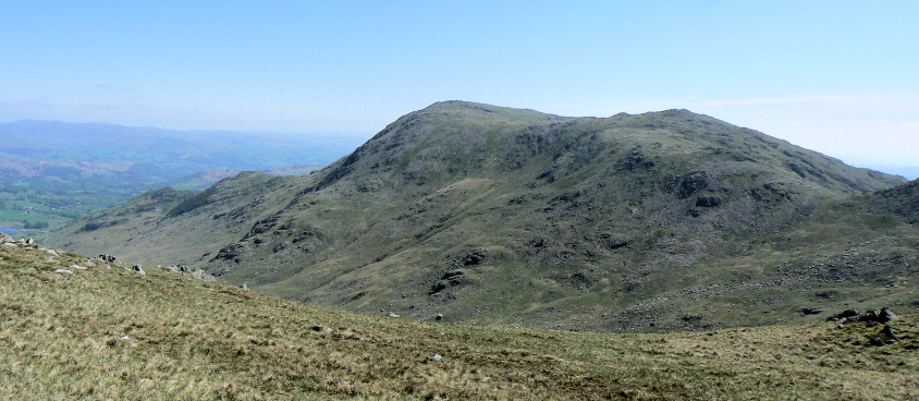
Looking across to Wetherlam as I walk past Little Carrs summit and ignore it.
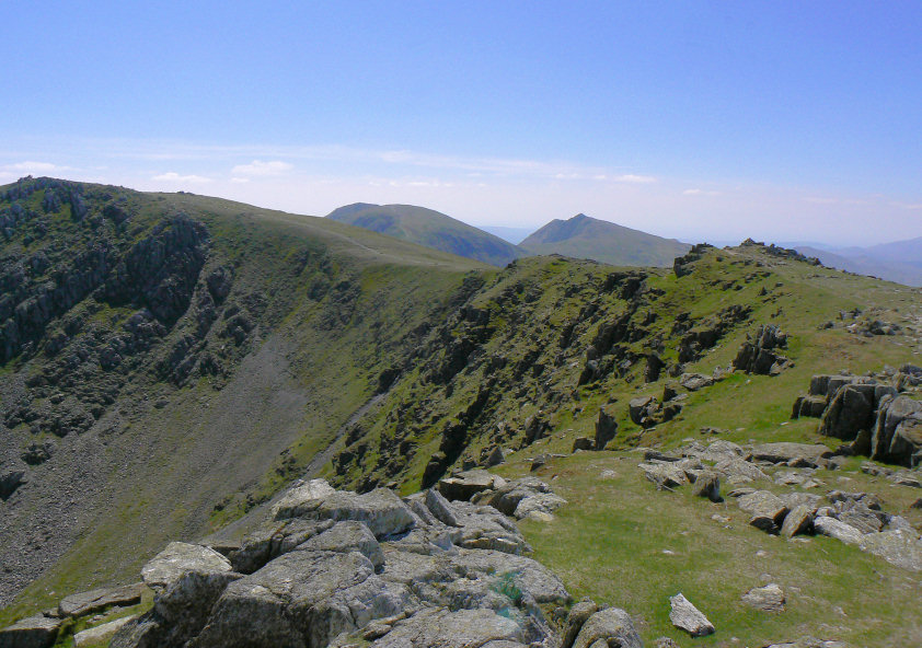
Looking along the ridge to Swirl How from Great Carrs summit. The Old Man and Dow Crag look a long way away from here.
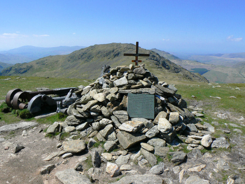
The memorial on Broad Slack to the crew of the Halifax Bomber that crashed here on October 22nd 1944. The temptation to include Grey Friar in the walk was hard to resist but knowing how far I had to go I decided to leave it for another day.
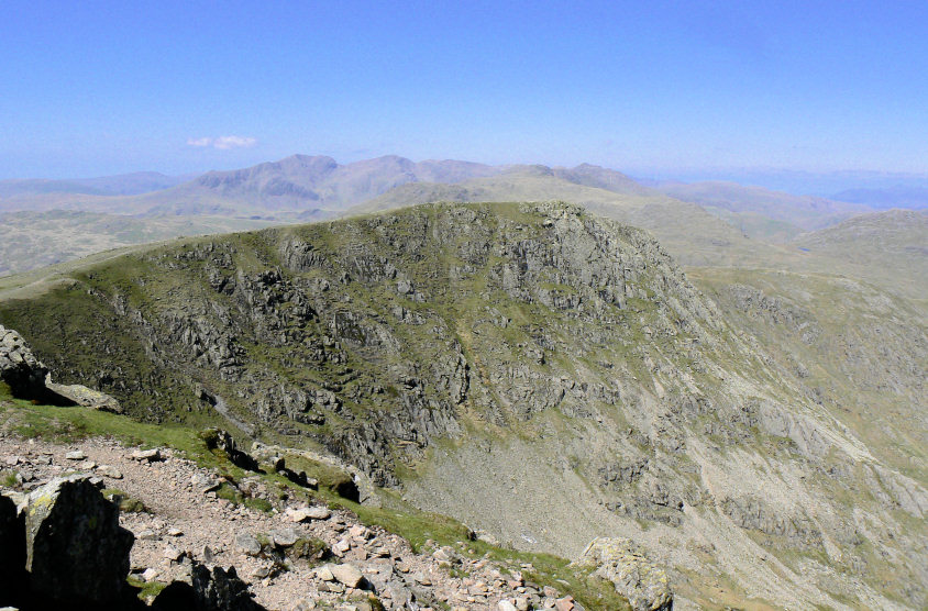
Looking back to Great Carrs from Swirl How.
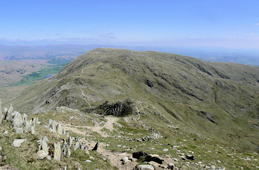
It was whilst I was looking down Prison Band to Wetherlam that I realised that I had done it several years ago when I was starting to walk in the Lakes. All I remember is that it was a bitterly cold October day with a strong wind on the summit and that I opted to take the path down to Levers Water rather than continue to Wetherlam due to the fading light. I had run out of time as I'd had discovered, when I was at Swirl How, that I had left my GPS on the path at Levers Hause so I'd had to go back for it.
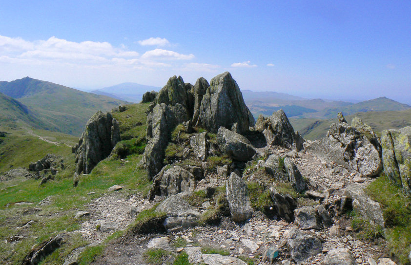
Great How's summit.
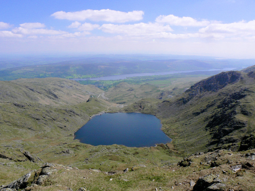
Levers Water and Coniston Water from Swirl How.
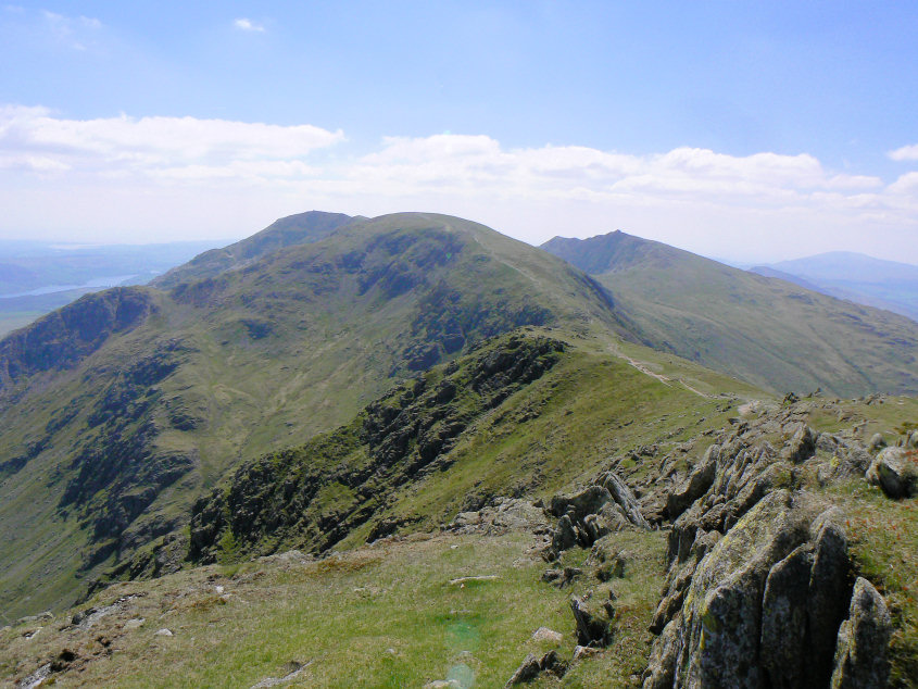
Looking across Levers Hause to Brim Fell with the Old Man behind.
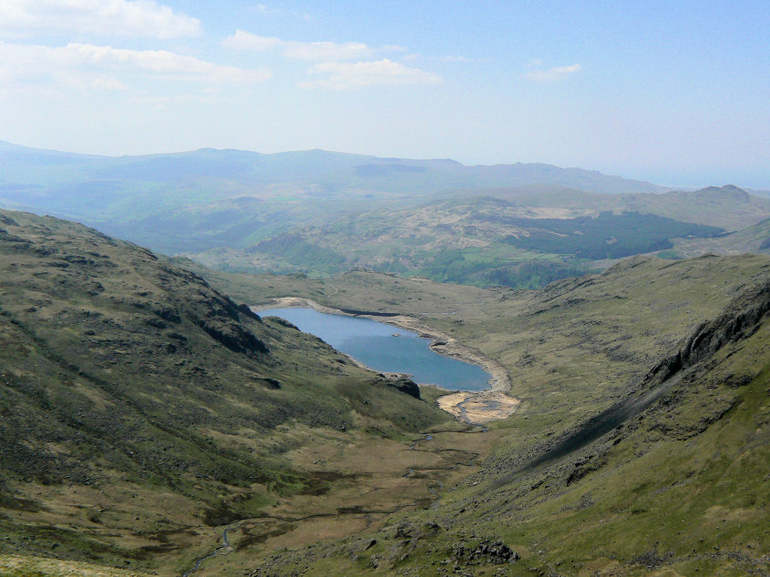
Seathwaite Tarn looks like it has a considerable amount of water missing.
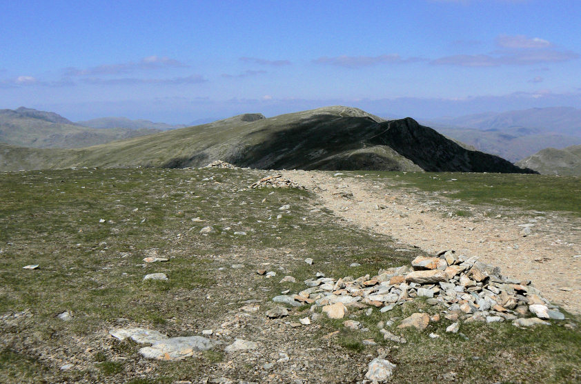
Looking back along my route, so far, from Brim Fell's summit.
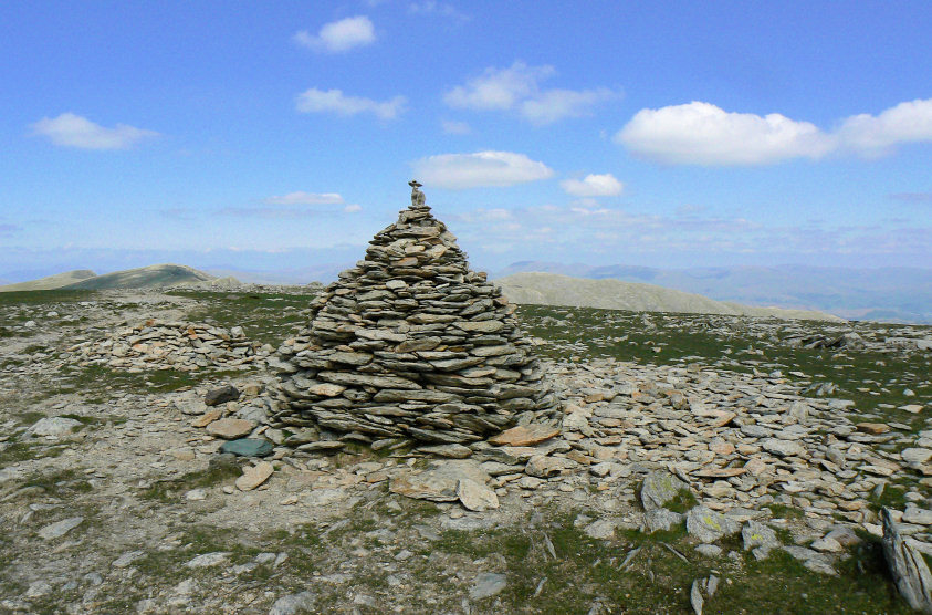
Brim Fell's summit cairn. It was from here that I noticed a sudden increase in the number of people on the fells. Previously I had only met six people, now it felt like they were coming from all directions.
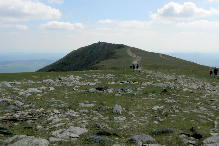
Looking towards the Old Man's summit from Brim Fell.
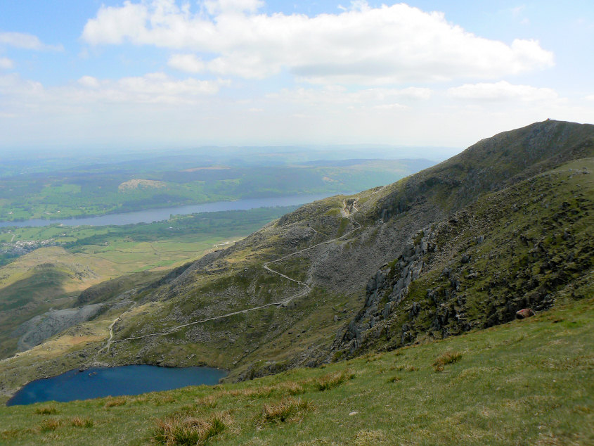
Looking down on the more popular tourist route to the Old Man's summit.
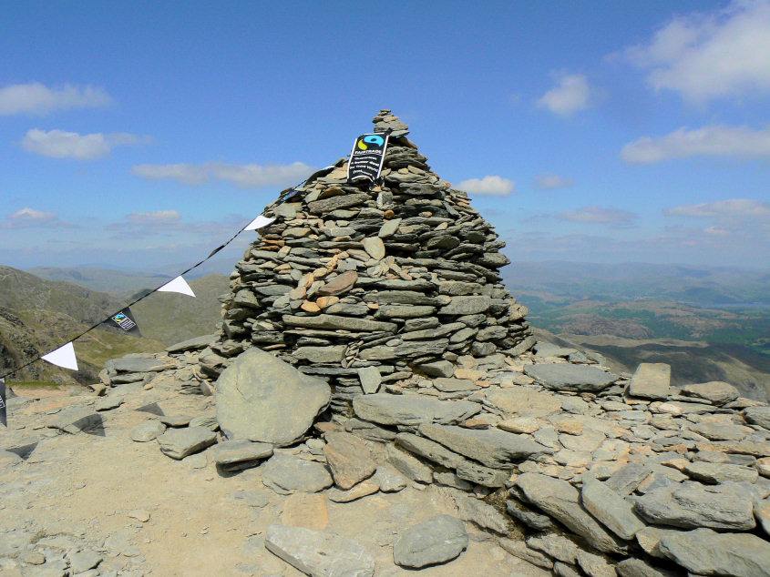
There were free drinks being given away on the summit today as part of a promotion of Fair Trade which is why the Old Man's summit cairn is decorated with flags.
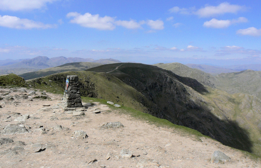
Brim Fell from the Old Man's summit.
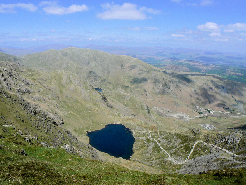
Low Water and Wetherlam from Coniston Old Man's s summit.
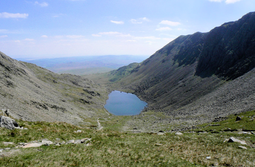
Goat's Water from Goat's Hause.
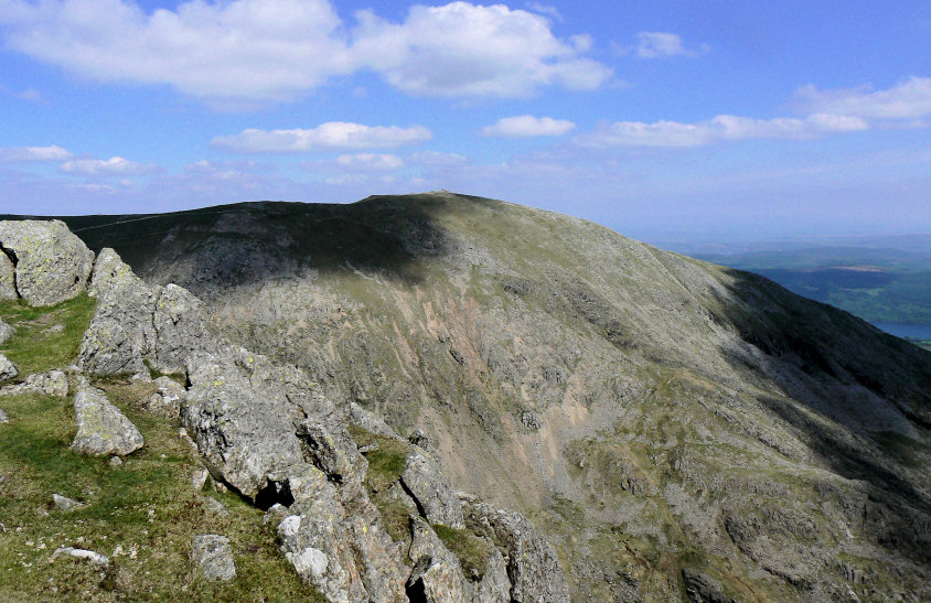
Looking across to Coniston Old Man's summit from the summit of Dow Crag.
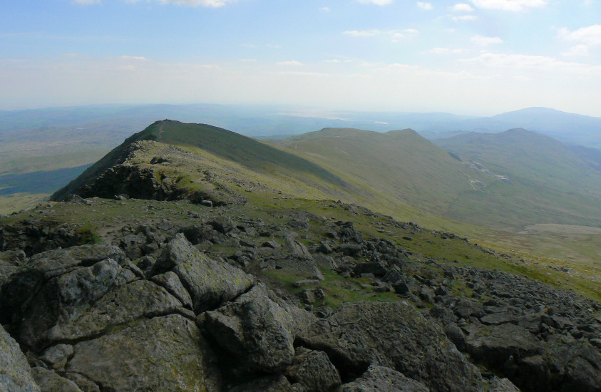
Looking along the ridge to Buck Pike from Dow Crag. I was to meet no-one as I walked along here, a little different to the summit of the Old Man.
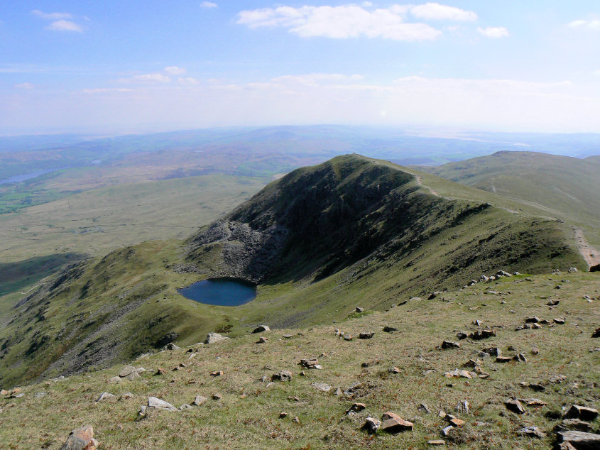
Brown Pike and Blind Tarn from Buck Pike's summit.
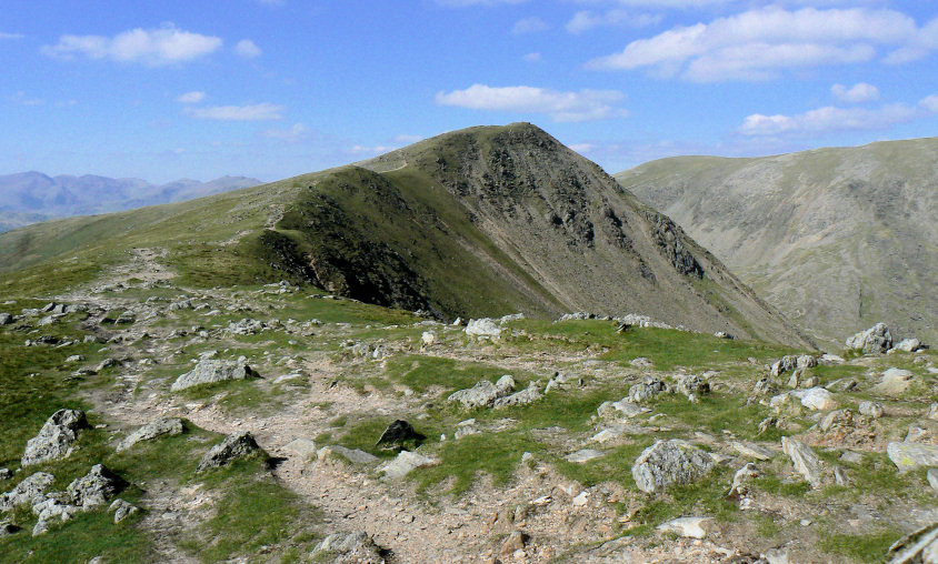
Buck Pike from Brown Pike's summit.
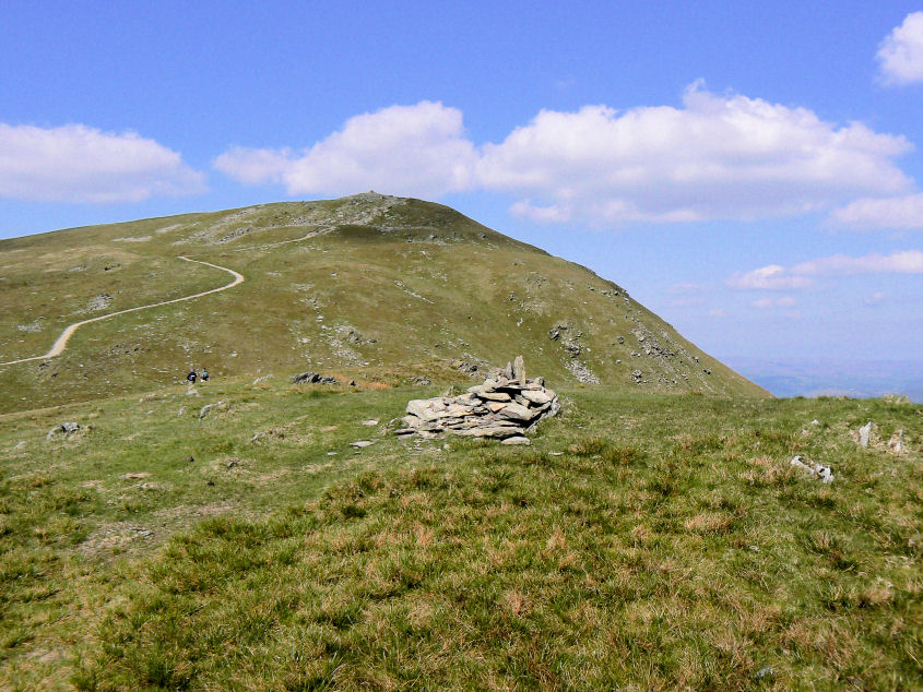
Looking back to Brown Pike from Walna Scar's summit.
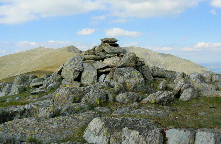
White Maiden's summit cairn with Coniston Old Man to the right and Buck Pike and Dow Crag to the left.
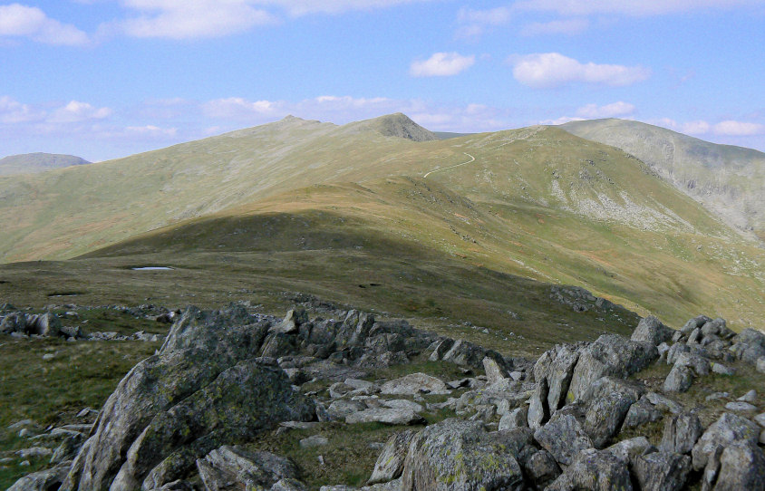
Looking back to Walna Scar and Dow Crag from White Maiden.
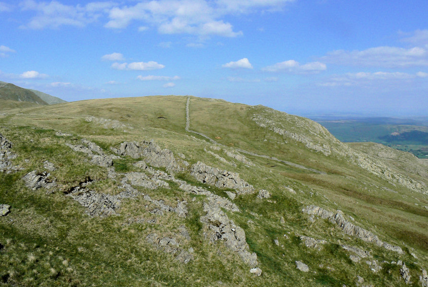
White Maiden , the summit is at the top of the wall.
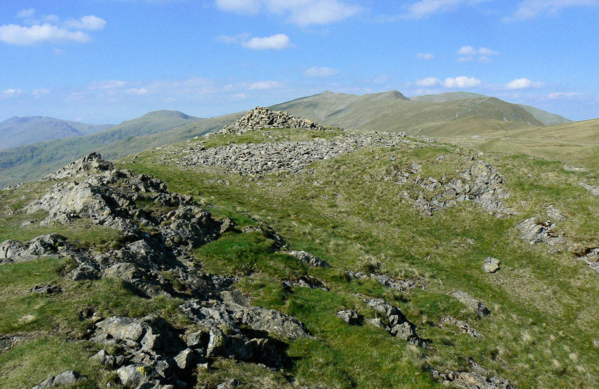
The final summit of the day, White Pike.
All pictures copyright © Peak Walker 2006-2023